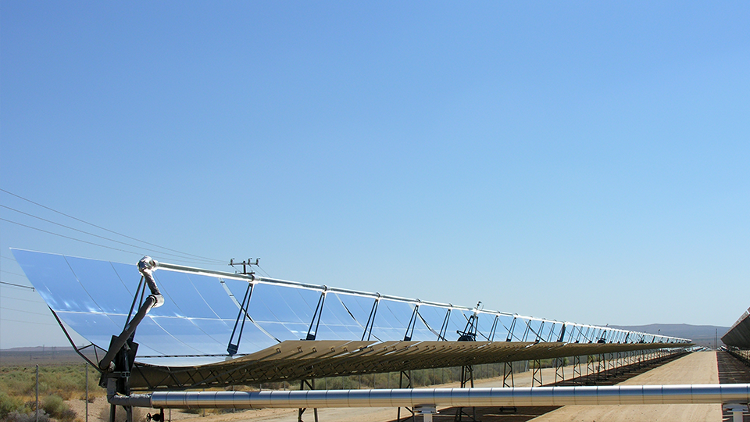
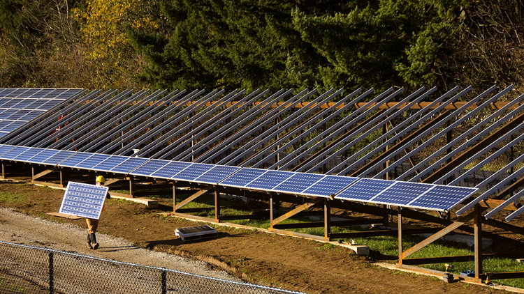
For Los Angeles County to achieve a 100% renewable energy future, developing highly efficient and innovative systems that take advantage of its abundant natural resource—solar energy—is critical. So far, two well-developed technologies, photovoltaics (PV) and concentrating solar power (CSP), have advanced solar energy conversion in different directions. While PV is cheaper and relatively more efficient, CSP is dispatchable (can be turned on or off by operators) and can be used on-demand. Thus, efforts have been made to develop hybrid solar and thermal systems to increase PV "dispatchability." However, these hybrid systems suffer from the elevated temperature of the PV cell, which decreases overall efficiency. Realizing such a technology gap, the UCLA research team aims to develop a novel technology that is both a highly efficient and dispatchable form of solar energy conversion and storage to help the county achieve its sustainable goals.
