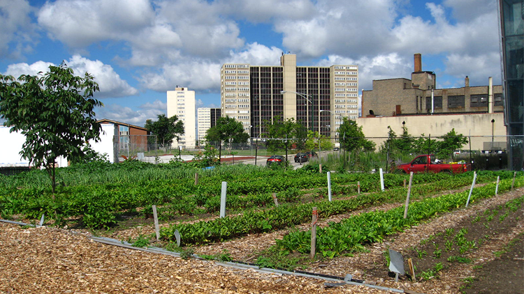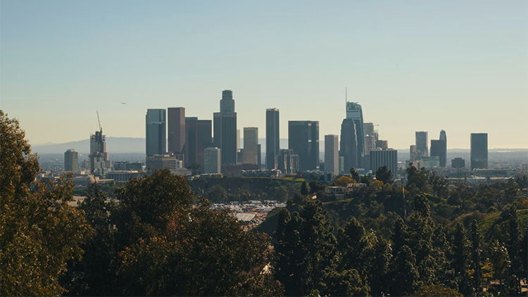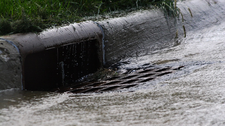
California’s water infrastructure is set up for flood control, with conveying streamflow to the ocean as efficiently as possible as its primary aim. Capturing and using more stormwater is one key way that Los Angeles County can decrease its dependency on water supplies sourced from hundreds of miles away. In adapting the state’s infrastructure for stormwater capture, storage and use, it is essential to plan carefully for the precipitation extremes of the future, which will become more intense and frequent due to climate change.
Atmospheric rivers—long corridors of water vapor traveling from the Pacific Ocean to California—are responsible for producing heavy precipitation and determining the state’s flood risk. Given this context, it is critical to understand how atmospheric river events will change in a warming world. In this project, researchers quantify projected changes in future precipitation driven by extreme atmospheric rivers in California by combining global climate model (GCM) with regional modeling.