Gregory Okin, UCLA geography professor and member of UCLA’s Institute of the Environment and Sustainability, led the creation of the Landscape Cover Analysis and Reporting Tool (LandCART). In the past, keeping track of changes in vegetation posed a serious challenge to land managers and conservationists looking to make informed decisions regarding the use of public and private land. LandCART changed this.
The tool uses machine learning to assess changes in vegetation and ground cover across the American West and is the first project to bring together historical and present-day ground-level observations, climate data and remote-sensing info from satellites. Okin collaborated with UCLA colleagues, as well as those from the U.S. Bureau of Land Management and NASA.
Gordon Toevs, chief of the U.S. Bureau of Land Management’s division of resource services, highlighted LandCART’s ability to assist in agency work. “This information will help identify areas where potential changes in management decisions may reverse a downward trend in vegetation cover — and where [the Bureau of Land Management’s] decisions are helping maintain desirable conditions for the enjoyment and use of present and future generations.”
While government agencies can utilize LandCART, it is also designed to be accessible to the general public. This was done with the intention of increasing access to information which informs proper land use and wildlife conservation.
Learn more about LandCART at UCLA Newsroom.
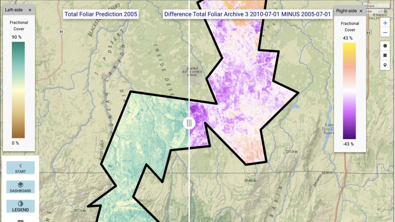
Image Source: LandCART/U.S. Bureau of Land Management